Description
Washington’s Crossing Map
Washington’s Crossing Map:
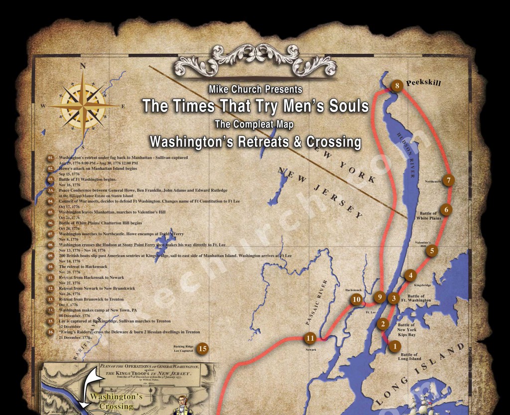
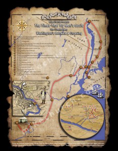
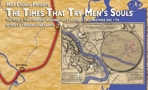
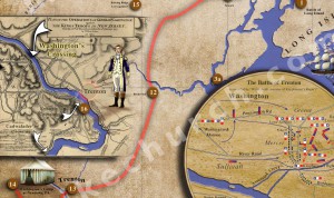
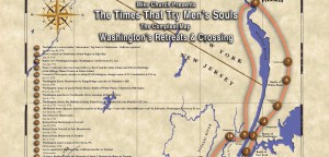
18 x 24 poster and shows the in-progress detail of Washington’s retreat across Manhattan, White Plains, NJ and to the PA side of the Delaware River across from Trenton, NJ c.1776 and the events of Christmas Day and the 26th of December, 1776 “Washington’s Crossing”.
SHIPPING NOTE: THIS PRODUCT HAS SPECIAL SHIPPING INSTRUCTIONS. IT CANNOT BE SHIPPED WITH BOOKS OF ANY KIND TO PROTECT THE POSTER. IT CAN BE SHIPPED WITH OTHER MAPS, POSTERS, T-SHIRTS AND 1-4 DOCUMENTARIES ONLY! IF THIS PRODUCT IS PURCHASED WITH BOOKS, THE ENTIRE ORDER WILL BE HELD UNTIL SHIPPING ARRANGEMENTS ARE MADE.
You can purchase the coordinated Times That Try Men’s Soul audio cd set here.
The Times That try Men’s Souls – Washington’s Retreats And Crossing Map
The Compleat Story Pt I – The Origins of Map Fever
(To read the entire story of the map’s construction, purchase the map and this completed .pdf will be included as a download..While I was writing the screenplay for “Times That Try Men’s Souls” it was impossible to get a firm grasp of the events without being able to see the route of Washington’s stunning adventure. In early December, I solved this by printing out sections of a yahoo map that surround each town and assembling them by overlapping each to its approximate location. I then highlighted the towns and finally the ….(purchase the map for the rest of this story.)
What Do You Mean “No One Ever Produced A Drawing of This?”
When I began searching for a circa 1776 map of the battles of Long Island, Manhattan and New jersey I expected to find dozens of them to choose from. Much to my initial shock, there were no comprehensive maps and very few from each individual battle. I then thought I could search for a modern markup of the same thing and pursue making a contemporary (1776) looking version; still no go. Finally, in desperation I contacted four companies that produce custom made maps. Three of the vendors never responded to my request and the …(purchase the map for the rest of this story, purchase the map or the 2cd set with the map.)
Pt III – Of Going Back to Drawing Boards and Nat Geo
After wasting another two days experimenting with piecing together all the available maps made circa 1776. I located the famous map of the Battle of Fort Washington which got renamed “Ft Knyphausen”, The Battle of New York (Kip’s Bay) and the Battle of Trenton from an English & Hessian viewpoint. Also located in the search were drawings for Manhattan Island from 1770 & 1830, drawings for “Brookland” from 1770 and another map of New Jersey from 1861. Because there were no satellites to…(purchase the map for the rest of this story, purchase the map or the 2cd set with the map.)
Pt IV – Laying Out The Chase
Over the next 7 days I established a basic parchment paper background for the map’s surface. Using blown up modern maps I placed markers where each event occurred that was important to the storyline. I immediately noticed just how small Manhattan Island was when viewed in the same frame as Trenton and Peekskill. The same was true for tiny Trenton which was 1/10th the size of Manhattan. This posed a layout problem I had not expected: I could only place an insert map with a wildly magnified view of…(purchase the map for the rest of this story, purchase the map or the 2cd set with the map.)
Part V – How About That German Engineering
When I returned to work on Tuesday, 5 February I had no idea how to solve the Trenton dilemma so I resigned to conduct one more intensive internet search to see if I had missed something that could be useful. The next day that search kept turning up a map of the battle called “Wiederhold” which I took to mean must have been a replica of something printed in German. …(purchase the map for the rest of this story, purchase the map or the 2cd set with the map.)
Part VI – All Together Now!
The final piece of the map that pulls the entire composition together is the parchment. For the first 25 days of it’s life, the “Compleat Map” had a scanned in image of a parchment copy of the Declaration of Independence that I used to make the opening credit sequence for my film “The Road To Independence”. While the parchment looked ok, it wasn’t nearly the “treasure map” look I wanted so I began a search for an alternative. This time, I discovered…(purchase the map for the rest of this story, purchase the map or the 2cd set with the map.)

 Cart is empty
Reviews
There are no reviews yet.